Free shipping over €70 to Ireland
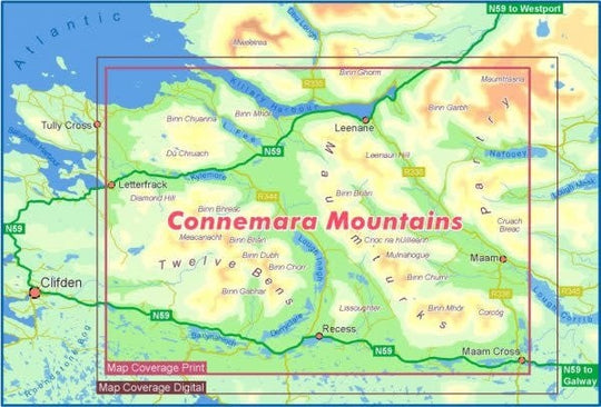
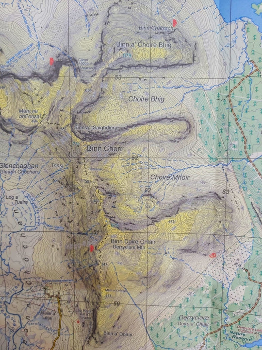
Definitive detailed map at 1:25,000 scale covering the Twelve Bens, Maumturk Mountains, Killary Harbour and surrounding lowland areas. Produced to the Eastwest 25Series standard, this general topographic map has a 5 metre contour interval which give amazing detail. Signposted/waymarked walking trails are depicted. The finest and most detailed of several maps published of this popular region. Printed on good quality Progeo 90gsm map paper. The map sheet measures 1125mm x 820mm, covering 550 sq kilometres and is folded down to 125mm x 205mm. Surveyed & published 2020.
The perfect Connemara map for hillwalking and exploring. This Eastwest map is also the ideal guide for the Maumturks Challenge Walk.
Waterproof Encapsulated Folded – very tough and durable for long-lasting outdoor use.
Looking for navigation instruction or a guide for your hill walking adventures? Maybe you're thinking about organising a trek for your charity? We can help, get in touch today. We also have an exciting range of overseas expeditions and adventure experiences for you! https://www.adventure.ie/adventure-travel/
Shipping is €6 to the island of Ireland, and free over €70


