Large selection of products and fast shipping!
Your cart is currently empty
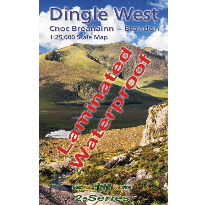


Eastwest Dingle West Brandon Waterproof 1:25,000 Map. A very detailed map of the Dingle Peninsula with 5 metre contour interval, route markings, placenames. Ideal for exploring and walking the Dingle Way.
We all work and play in the outdoors on events, expeditions, rescues or purely for fun! We understand your needs.
Use our chat feature to ask us questions just as you would if you were in store!
Free EU Delivery over €200. Free delivery level may increase during sales, t&cs apply.
Returns are a pain. We'll do our best to make the process as easy and straightforward as possible. See our policy below.
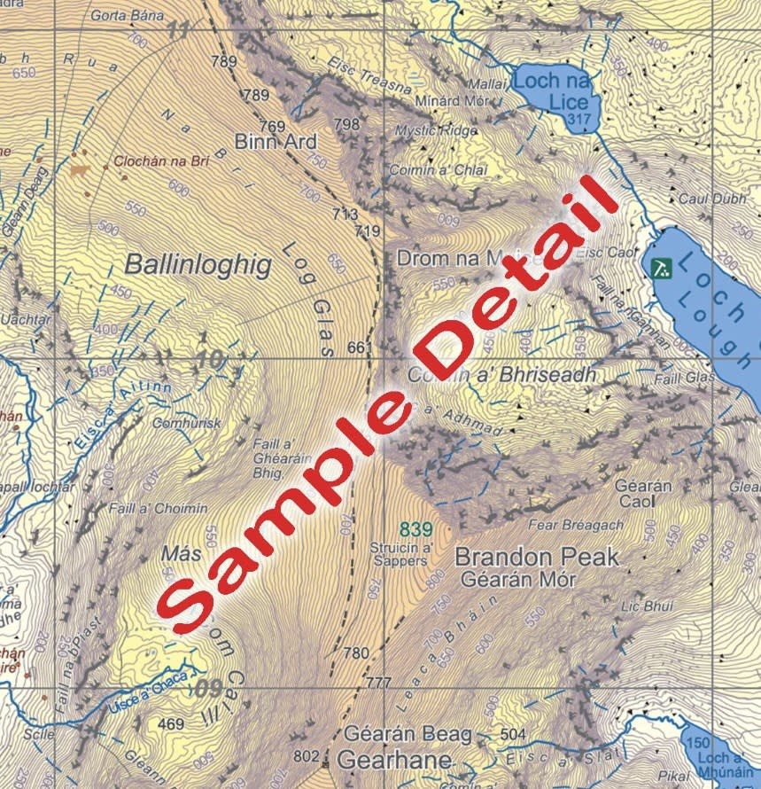
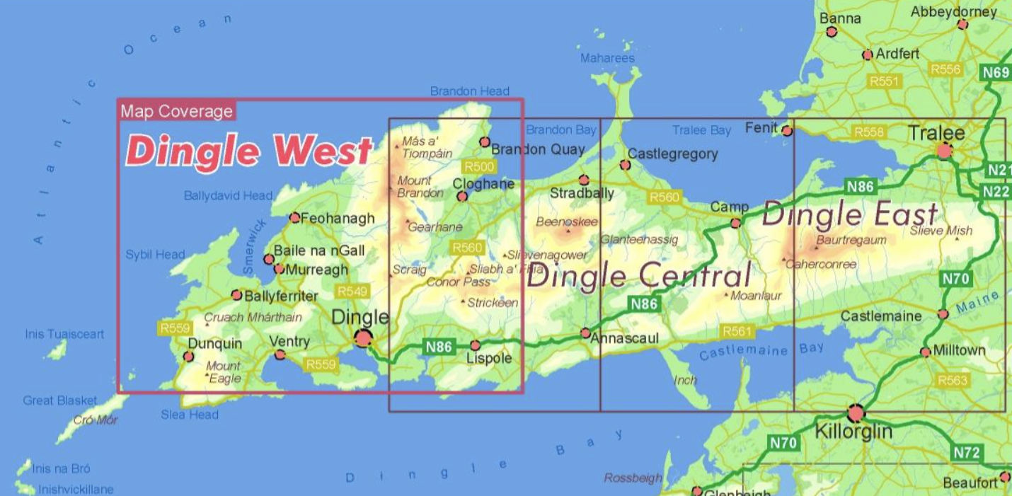
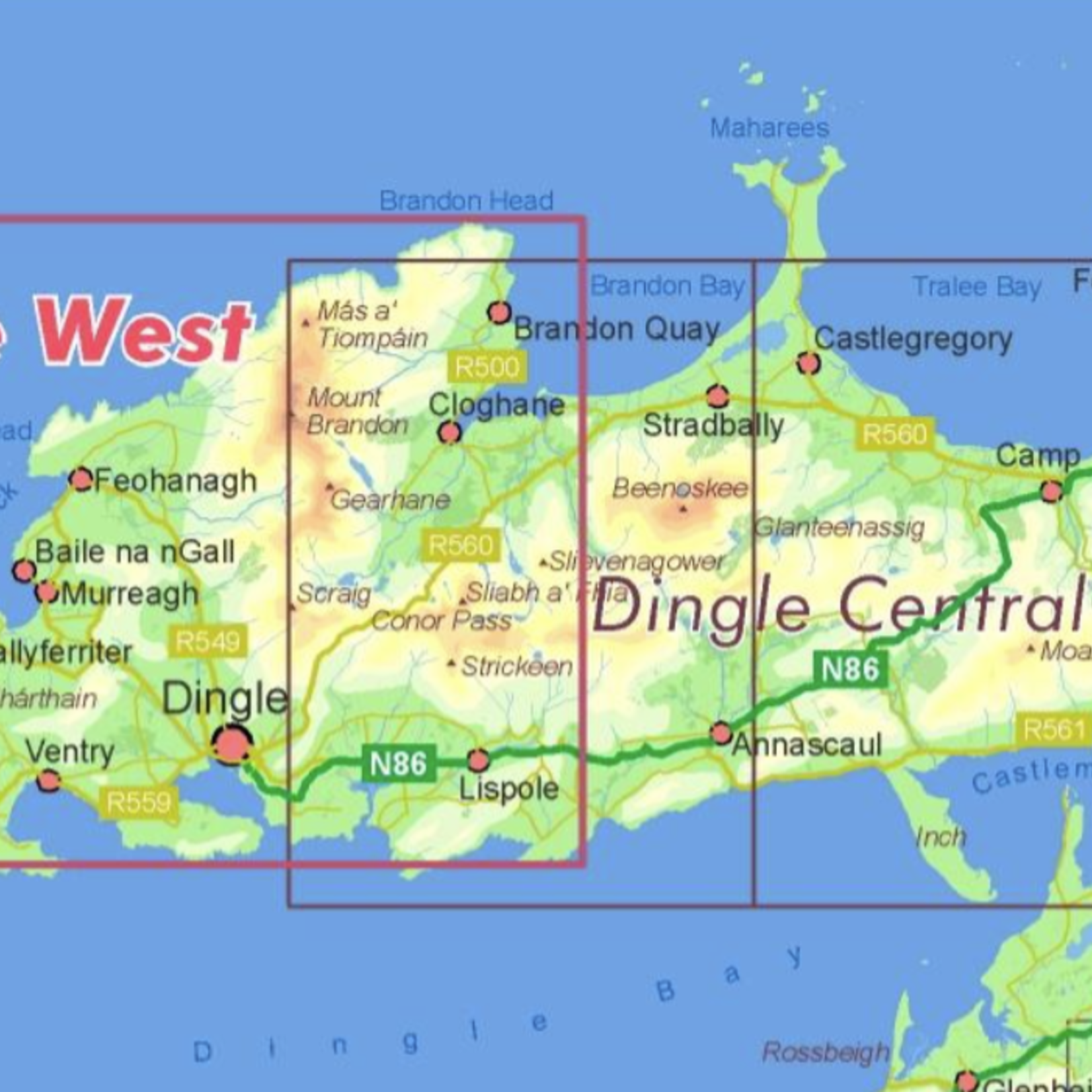
The definitive detailed map at 1:25,000 scale covering the western end of the Dingle peninsula – from Dunquin to the Conor Pass and including Mount Brandon. Produced to the 25,000 Series standard, this general topographic map has a 5 metre contour interval for fine navigation. Signposted walking trails are depicted. Detailed topographic map with many placenames and heritage sites. Printed on good quality Progeo 90gsm map paper. The map sheet measures 1125mm x 820mm, covering 550 sq kilometres and is folded down to 125mm x 205mm. Read care instructions in FAQ. Click on thumbnail images above to view sample detail and map coverage. Note that the tip of Slea Head is not shown. Published 2023.
Ideal for exploring the wild mountains of the Dingle peninsula, Dingle Way and loads more.
Product carousel items


