Large selection of products and fast shipping!
Your cart is currently empty
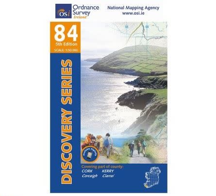


OSI Discovery Series Sheet 84. Discovery Sheet No. 84 covers part of County Cork and Kerry. The Discovery Series are designed for tourist and leisure activities and are produced at the scale of 1:50,000.
We all work and play in the outdoors on events, expeditions, rescues or purely for fun! We understand your needs.
Use our chat feature to ask us questions just as you would if you were in store!
Free EU Delivery over €200. Free delivery level may increase during sales, t&cs apply.
Returns are a pain. We'll do our best to make the process as easy and straightforward as possible. See our policy below.
The N70 National Secondary road runs along the Kerry coastline passing through Sneem. The N70 also passes through part of the Gaeltacht area between Caherdaniel and Waterville. The majority of this map is serviced by regional and third class roads.
This map encloses some mountainous regions. The peninsula from Co. Cork is dominated by the Slieve Miskish Mountains and the Caha Mountains. Some of the higher peaks featured on these ranges include Hungry Hill, Maulin, Coomacloghane, Knockowen, Knockoura and Mickish Mountain.
Coastal features are notorious on this map. Ballinskelligs Bay, Kenmare River, Kilmakilloge Harbour, Ardgroom Harbour, Coulagh Bay, Bear Haven and Bantry Bay all feature along the coast.
Scariff Island, Dursey Island and Bear Island are the principal islands along this coastal map.
A number of walking and cycle routes are located around this map. The larger routes include both Béara Way walk and Beara Way cycle route, The Kerry Way and the Ring of Kerry Cycle Route. The smaller routes include the Dunboy Wood Loop, the Emlagh Loop, Sneem-Lomanagh Loop, Ardgroom-Pulleen Loop and a small portion of the Sheep’s Head Cycle Route.
Product carousel items


