Large selection of products and fast shipping!
Your cart is currently empty


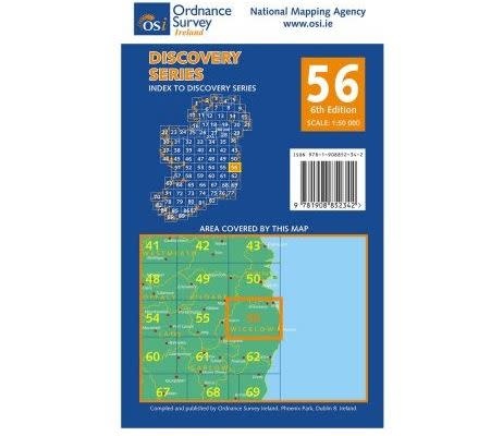

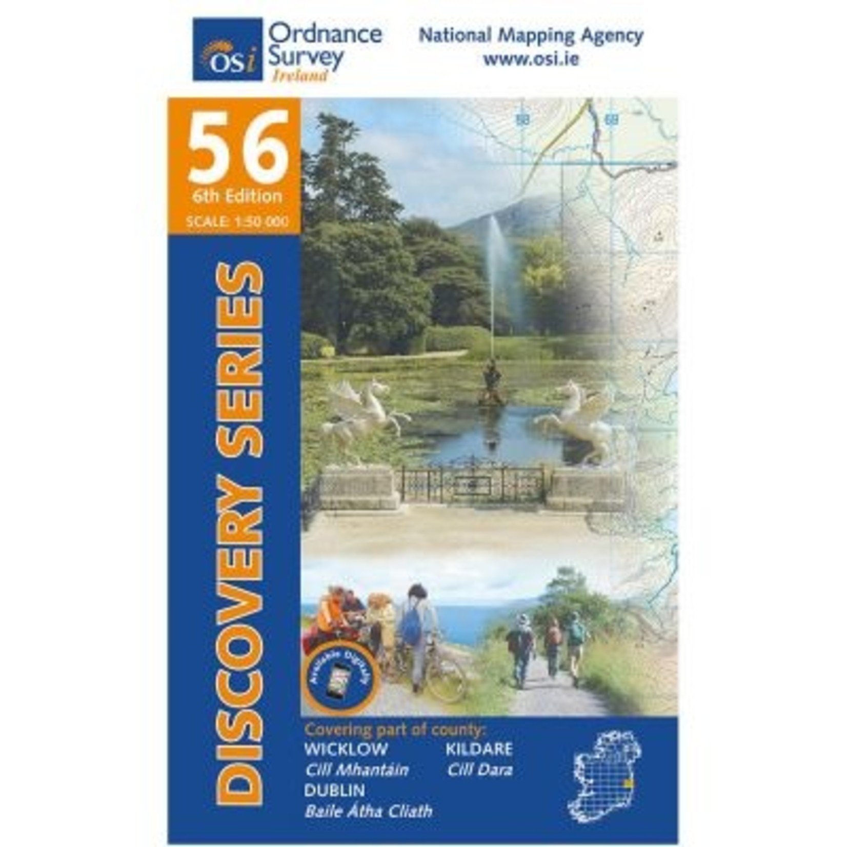
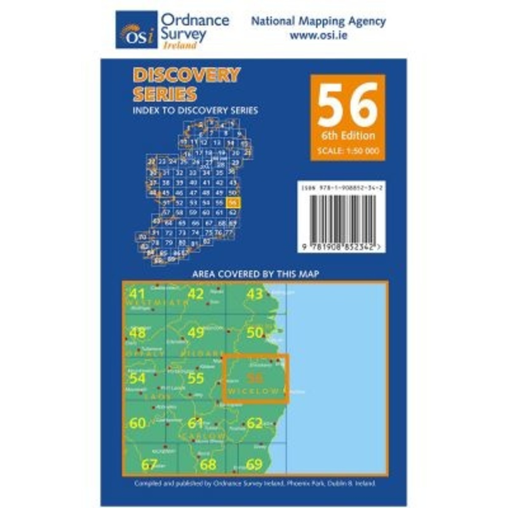


This is the waterproof, laminated version of the Discover Series Sheet 56 map in the 1:50,000 scale. Often used in the teaching of Mountain Skills and beginner navigation courses, the area map covers is situated in Co. Wicklow, Co. Dublin and Co. Kildare.
We all work and play in the outdoors on events, expeditions, rescues or purely for fun! We understand your needs.
Use our chat feature to ask us questions just as you would if you were in store!
Free EU Delivery over €200. Free delivery level may increase during sales, t&cs apply.
Returns are a pain. We'll do our best to make the process as easy and straightforward as possible. See our policy below.
This is the waterproof, laminated version of the Discover Series Sheet 56 map in the 1:50,000 scale.
Often used in the teaching of Mountain Skills and beginner navigation courses, the area map covers is situated in Co. Wicklow, Co. Dublin and Co. Kildare.
It is also available as a weatherproof product, on weatherproof paper.
The Wicklow Mountains Range is the most prominent feature on this map and is the reason it's regularly used in teaching Mountain Skills. The majority of the mountains are enclosed in the Boundary of the Wicklow Mountains National Park and it features Lugnaquilla, Tonelagee, Mullaghcleevaun, Djouce Mountain, The Spink and The Great Sugar Loaf among other popular hiking peaks.
St. George’s Channel lies to the east of the map, with prominent locations Bray Head and Wicklow Head featuring, with accessible inland marine and river locations also identified.
There are a number of trails scattered around this map. These include Bray to Greystones Cliff Walk, Maulin Trail, The Wicklow Way, St. Kevin’s Way Valleymount Spur, the Seamus Heaney Walk and the Clara Vale Trails.
Parts of this sheet are also covered by the OSi Adventure Series - Wicklow Mountains Sheets which covers Wicklow in 3 maps in the 1:25,000 scale. However, in our opinion, a far better 1:25,000 scale detailed map covering Lugnaquilla and the Glendalough area can be found from EastWest Mapping.
Product carousel items


