Large selection of products and fast shipping!
Your cart is currently empty
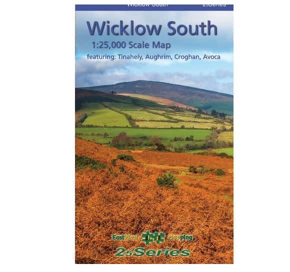


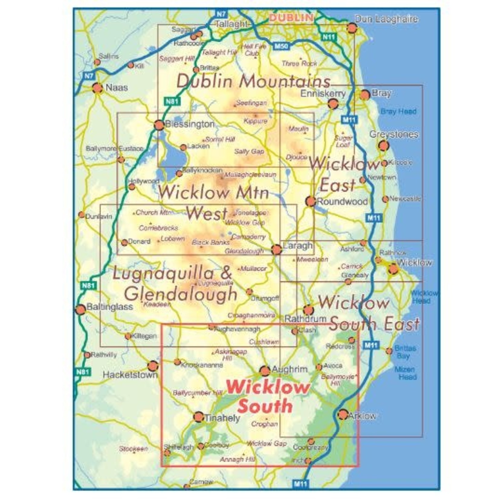
Eastwest Wicklow South 1:25000 Paper Map. Covering from Shillelagh and Knockananna in the west to Arklow and the Irish Sea. Tinahely, Ballycumber.
We all work and play in the outdoors on events, expeditions, rescues or purely for fun! We understand your needs.
Use our chat feature to ask us questions just as you would if you were in store!
Free EU Delivery over €200. Free delivery level may increase during sales, t&cs apply.
Returns are a pain. We'll do our best to make the process as easy and straightforward as possible. See our policy below.
Covering from Shillelagh and Knockananna in the west to Arklow and the Irish Sea. Tinahely, Ballycumber.
Depicts this densely settled region in very considerable detail for the benefit of both visitor and local alike. EastWest have conducted considerable research into local sites & placenames and much information is recorded on a map here for the first time.
The ideal companion for walking especially the Ballycumber and Tinahely walks.
Printed on good quality Progeo 90gsm map paper. The map sheet measures 1125mm x 820mm, covering 550 sq kilometres and is folded down to 125mm x 205mm.
Available both in standard folded paper version and folded encapsulated for durability and weatherproofing. Select your choice.
1:25,000 Scale : 1 centimetre on the map = 250 metres on the ground. Contour Interval : 5 metres.
Published January 2018.
Product carousel items


